Log in
All resources
Create a design
451 Free Artworks of Maps Of North America
astronomy
geology
united states
american
language
survey
natural history
description and travel
discovery and exploration
discoveries in geography
physical geography (1899) by davis
1899 maps of north america
bird
maps
astronomy
maps
astronomy
maps
1870s maps of kentucky
maps of the ohio river
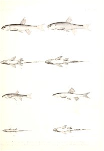
fish
maps
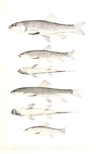
fish
maps
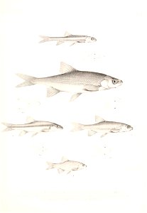
fish
maps
astronomy
maps
a map of the british empire in america with the french and spanish settlements adjacent thereto
bibliothèque nationale de france
shores and alps of alaska (1887)
1880s maps of alaska
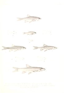
fish
maps
fish
maps
astronomy
maps
astronomy
maps
astronomy
maps
shores and alps of alaska (1887)
1880s maps of alaska
shores and alps of alaska (1887)
1880s maps of alaska
astronomy
maps
shores and alps of alaska (1887)
1880s maps of alaska
maps in the library of congress
1778 maps of new jersey
admiralty charts region u: north america east coast
admiralty charts 201-400
a plan of the operations of the king's army under the command of general sr. william howe, k.b. in new york and east new jersey, against the american forces commanded by general washington, from the 12th. of october, to the 28th. of november 1776
maps in the library of congress
1806 maps of the united states
maps by john cary
mappe-monde geo-hydrographique (sanson and jaillot, 1674)
astronomy
maps
bibliothèque nationale de france
cartouches by tomas lópez
the great south - a record of journeys (1875)
1875 maps of the united states
astronomy
maps
a plan of the operations of the king's army under the command of general sr. william howe, k.b. in new york and east new jersey, against the american forces commanded by general washington, from the 12th. of october, to the 28th. of november 1776
maps in the library of congress
the cruise of the alice may in the gulf of st. lawrence and adjacent waters (1885) by benjamin
old maps of north america
illustration
maps
maps by joachim bormeester
1685 maps
the great south - a record of journeys (1875)
1875 maps of the united states
the great south - a record of journeys (1875)
1875 maps of the united states
the great south - a record of journeys (1875)
1875 maps of the united states
carte du mexique et de la floride by guillaume delisle (1703)
bibliothèque nationale de france
the great south - a record of journeys (1875)
1870s maps of virginia
handbook of birds of the western united states (1908)
biogeographical maps of north america
1806 maps of the united states
maps by john cary
astronomy
maps
prints by caspar luyken in the rijksmuseum amsterdam
maps in the rijksmuseum amsterdam
old maps of north america
the book of birds (1918)
james watson (engraver)
james watson
etchings of birds in the rijksmuseum amsterdam
maps in the rijksmuseum amsterdam
bibliothèque nationale de france
hendrik de leth
carte de l'amérique septentrionale by guillaume delisle (1700)
1700 maps of north america
stereo cards of the exterior of the united states capitol
neoclassicism
birds-eye view of seattle, 1884
ships in puget sound
de nieuwe groote lichtende zee-fakkel (rijksmuseum)
maps in the rijksmuseum amsterdam
world map
maps
401 - 451 of 451
/ 5